Oct 30, 2024 - Will's 2024 Proposed City of Cleveland Ward Boundaries
Long time no talk. (Note: this post will be further edited for grammar and clarity)
Currently, Cleveland has 17 members of Cleveland City Council, councilmen, that each represent a designated geographic area known as a ward.
Because of City Rules and city’s declining population, the ward boundaries are being redrawn in a relatively opaque process.
Before the proposed boundaries are released, I wanted to try drawing my own, so here is how I did that, and what I learned in the process.
Why redraw the boundaries?
The City Charter requires the number of councilmen to depend on the city’s population taken during the Census every 10 years.
The guidelines are specified in Chapter 5 of the City’s Charter sections 25 and 25.1, both of which state:
“The wards so formed shall be as nearly equal in population as may be fair and equitable, composed of contiguous and compact territory, and bounded by natural boundaries or street lines” Section 25.1, which deals specifically with the reapportionment, redrawing of the ward boundaries, omits be fair and equitable
portion.
A May 2024 Press Release from Cleveland City Council mentions census tracks (sic) , reviews and compiling and analyzing GIS data” but there are no other public mention of criteria that are used. The city did hold public meetings in October.
They are being redrawn for the 2025 election. The 2020 Census results on a city-wide level were released in August 2021, only three months before the last city election; which was not enough time to make new ward boundaries for that election. That said, I wonder why the city waited until 2024 to redraw the ward boundaries.
My goals for making my own proposed boundaries:
-
I found the existing ward boundaries last made in 2013 to not be very compact nor bounded by natural boundaries.
-
I wondered how difficult it could be to make a new boundaries that had be more cohesive to align with neighborhood boundaries.
-
Learn more about the process.
How I did it:
Dave’s Redistricting is free software to create redistricting maps in the USA and was extremely useful for my drawing of the new ward boundaries. As you create a map with in Dave Redisricting, the population for each political subdivison is automatically calculates the population.
(insert the screenshot displaying the interface, where you quickly view the population of each current section; draw an area by particular census tracks or census blocks.
With that in mind, I hadn’t looked at the existing boundaries before drawing new boundaries and I started from a blank canvas; I did not modify the existing ward boundaries.
I don’t know if there’s any rule prohibiting their use to draw the ward boundaries but I used census blocks to give more me flexibility. Then I drew.
For boundaries: where possible, I used freeways (just south of the Opportunity Corridor I-71, the innerbelt, i-90), natural features like Doan Brook, the gap between east 67th and Marion Motley Park which formally was Kingsbury Run and the Sidaway Bridge , the lowlying area (where the zoo and Big Creek are located) and changes in landuse, railways. I didn’t realize until finishing it that my proposed boundaries for Slife and Kazy were extremely similar to their existing wards; population in that area changed very little between 2010 and 2020.
What I learned from this:
The councilpeople who will be forced to run in an area that with another incumbent (someone already elected) will likely always fall to councilpeople whose wards are towards the center of the city. This is
More importantly, the populations of each ward are extremely similar: I made a couple drafts of the map and compared it to the 2013 ward boundaries. I noticed the each ward’s population in the 2013/2014 ward boundaries were extremely close to each other. Each ward’s population in the 2013 map ranged from 22,240 (Ward 4) to 24,509 (ward 13); all wards’ populations were within 5% of 23,342 which is the average of (2010 Census for the city of Clevelandwas 396,815; divided by 17 (wards). (Ward population data is from NeoCando at CWRU)
Thus, I need to go back to the drawing board.
Now knowing that Cleveland City Council would likely only pass (into law) a set of ward boundaries whose ward populations were within 5% of the average population of a ward, I made another version of the map, what you see here. The city of Cleveland’s population according to the 2020 Census was 372,624. Divide that by 15 wards, averages to 24,841 and if we want all wards to be within 5% of that average, each ward’s population must fall between roughly 23,600 and 26,000.
As noted by Nick Castele in this Signal Cleveland piece, the majority of the city’s population loss between the 2010 and 2020 Census was on the East side, ( The City Planning Department has several maps highlighting the population change in Statistical Planning Areas (SPA) like 6,000 less people in the Glenville SPA). Because each ward’s population needs to be very similar (in this case between 23,600 and 26,000) you’ll need to cover more land compared to the previous ward boundaries to reach the desired ward’s population, consequently leading to larger boundaries and on the East side and create the perception on the East Side that will lose representation.
View my proposed Ward Boundaries for 2024 on a map
Nov 13, 2020 - Newspaper articles on my wall
(This has been sitting in my drafts folder for months; I need to just post!)
As a teenager in the early/mid 2000s, I cut out my favorite articles from print publications (Plain Dealer - the daily newspaper in Cleveland, or the Free Times, the Scene (the local alt. weeklies), or the New York Times - I had a subscription when I was home from college); I would then glue them onto poster board and then hang them up on my bedroom wall using sticky tack or push pins.
I don’t know where I got the idea for this; I don’t claim to be the original.
While cleaning, I found some of these and decided to document them before I threw them out.
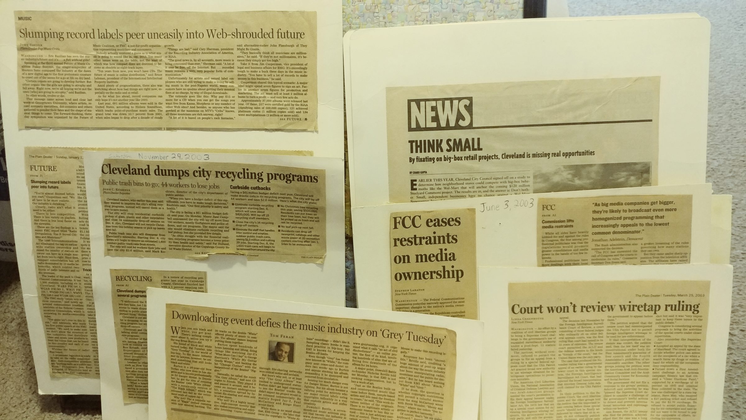
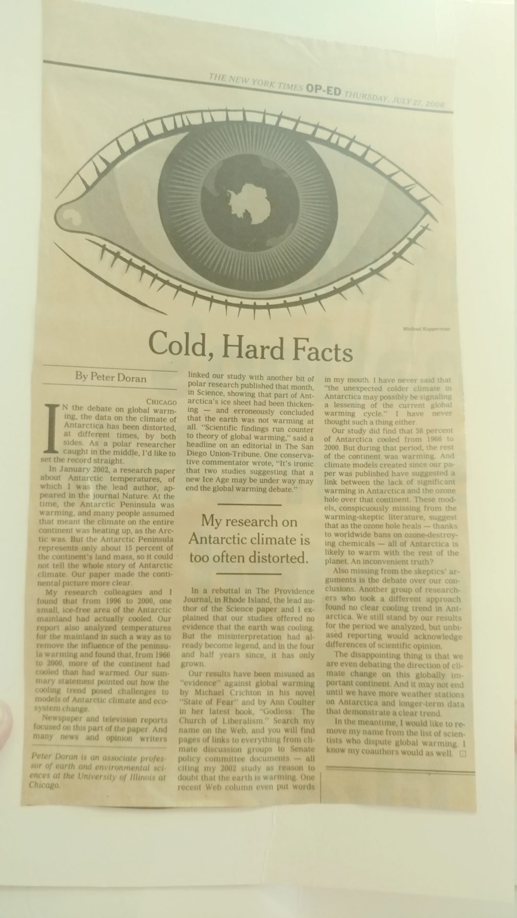
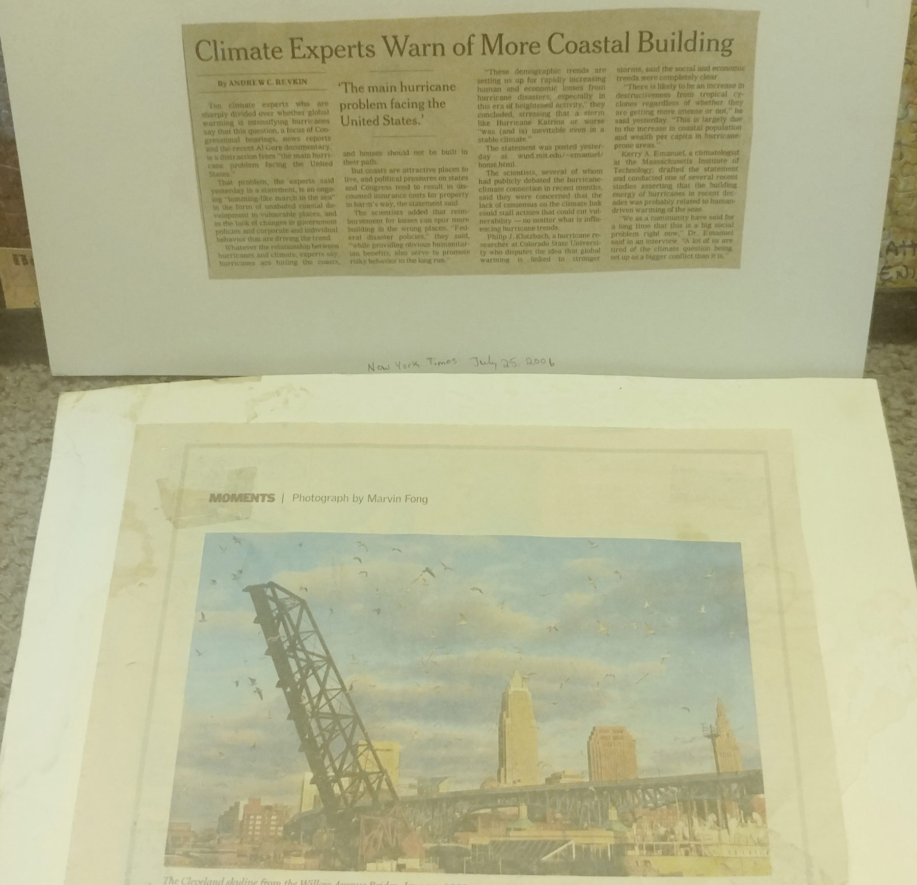
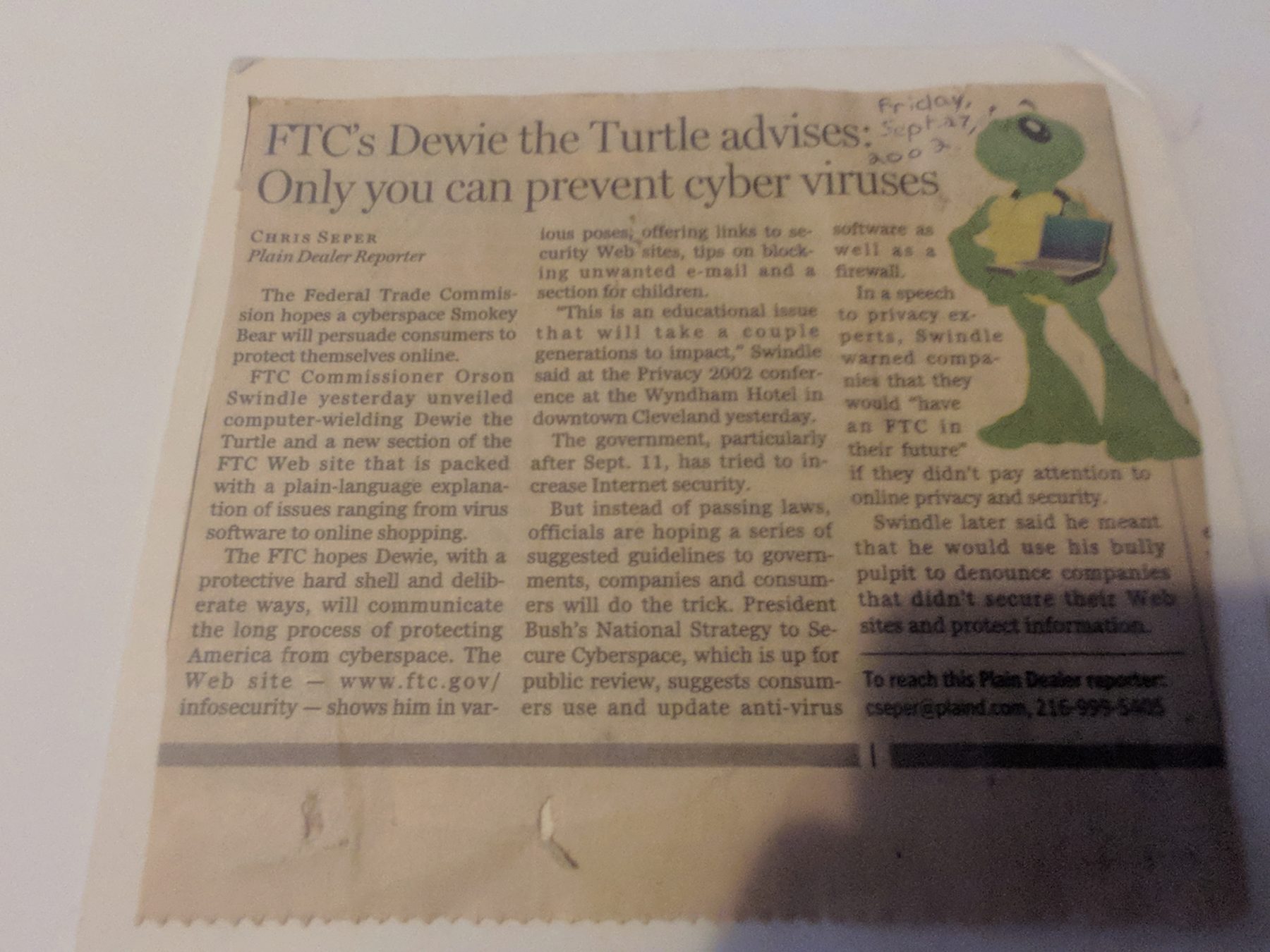
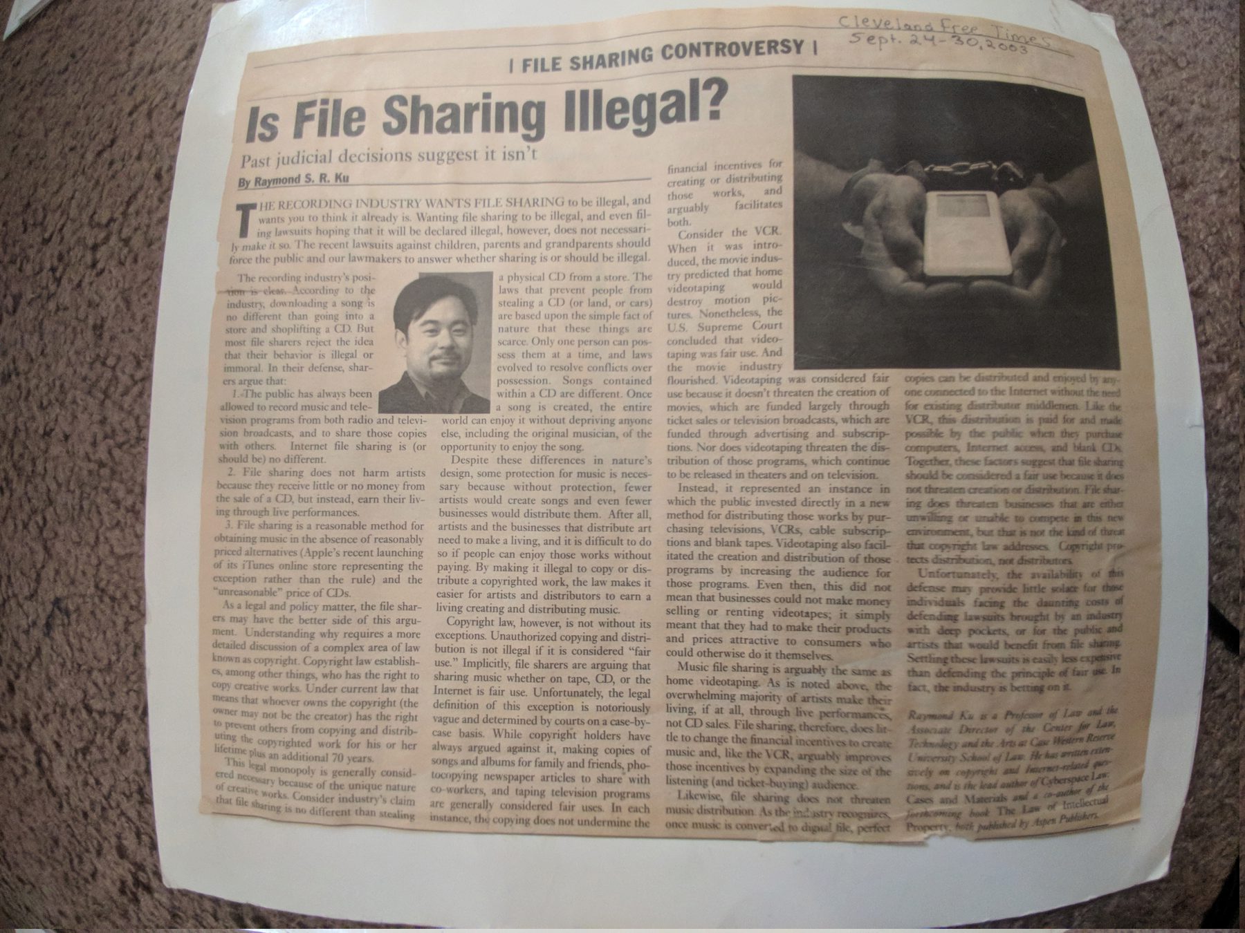
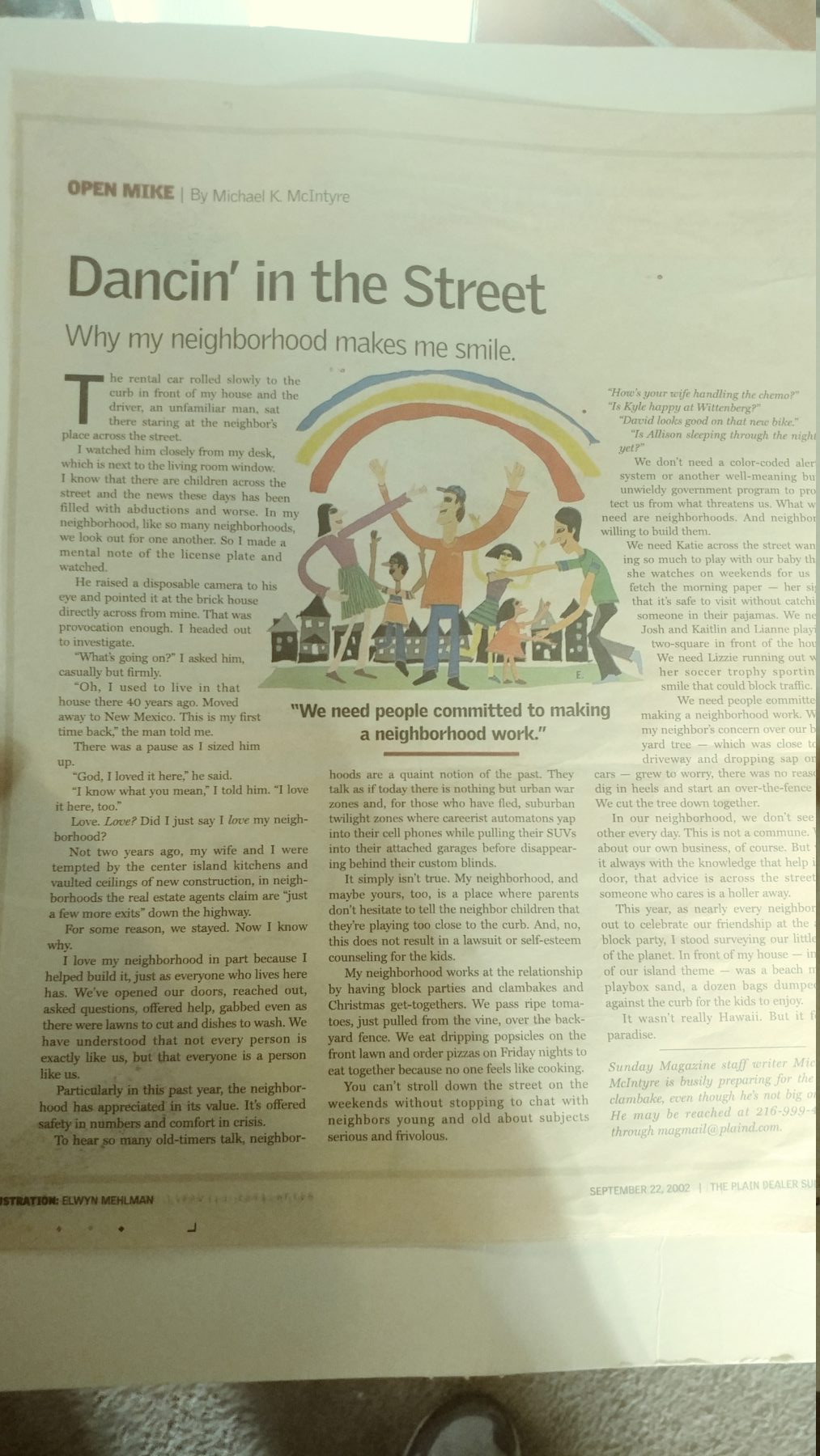
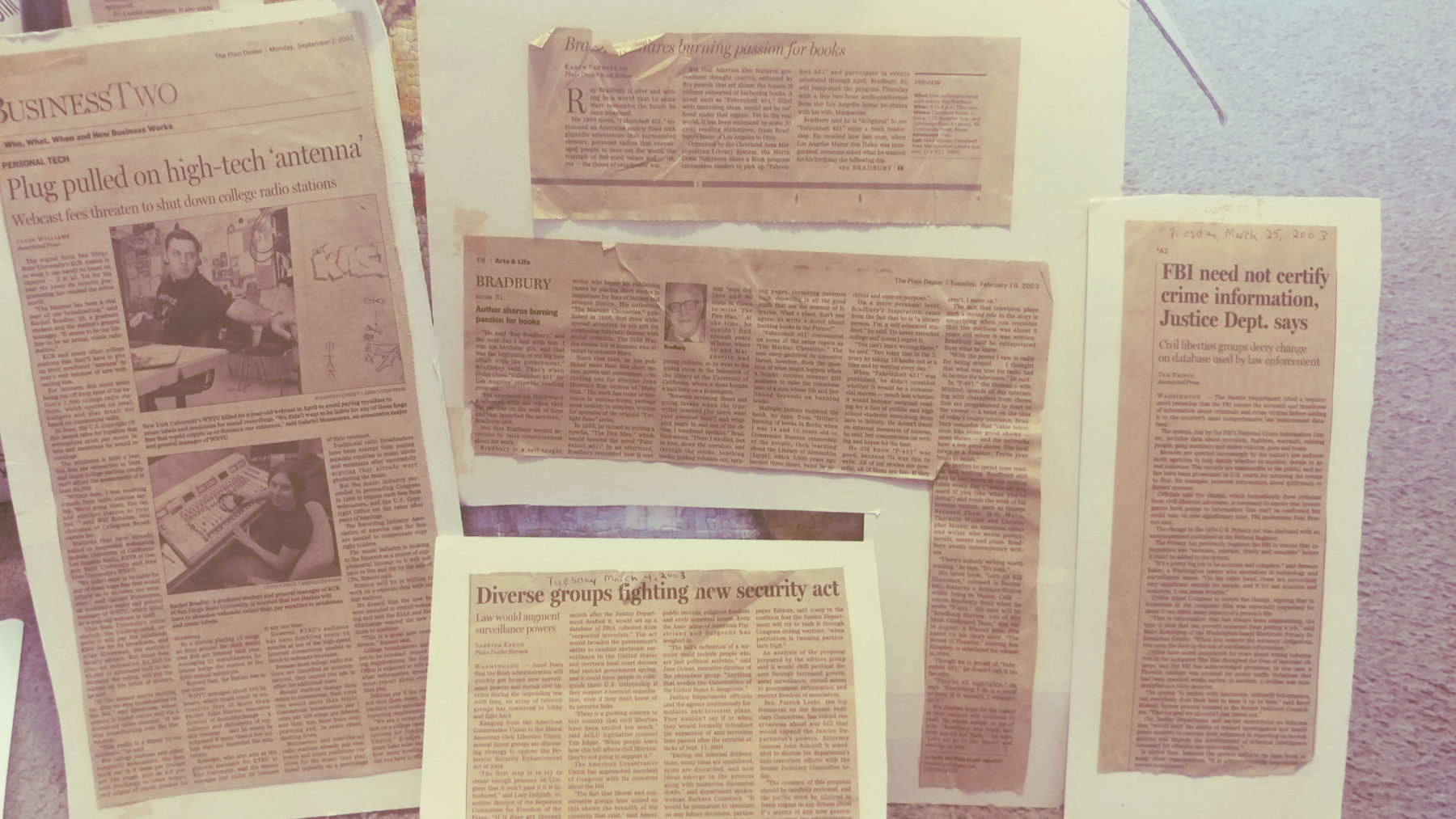
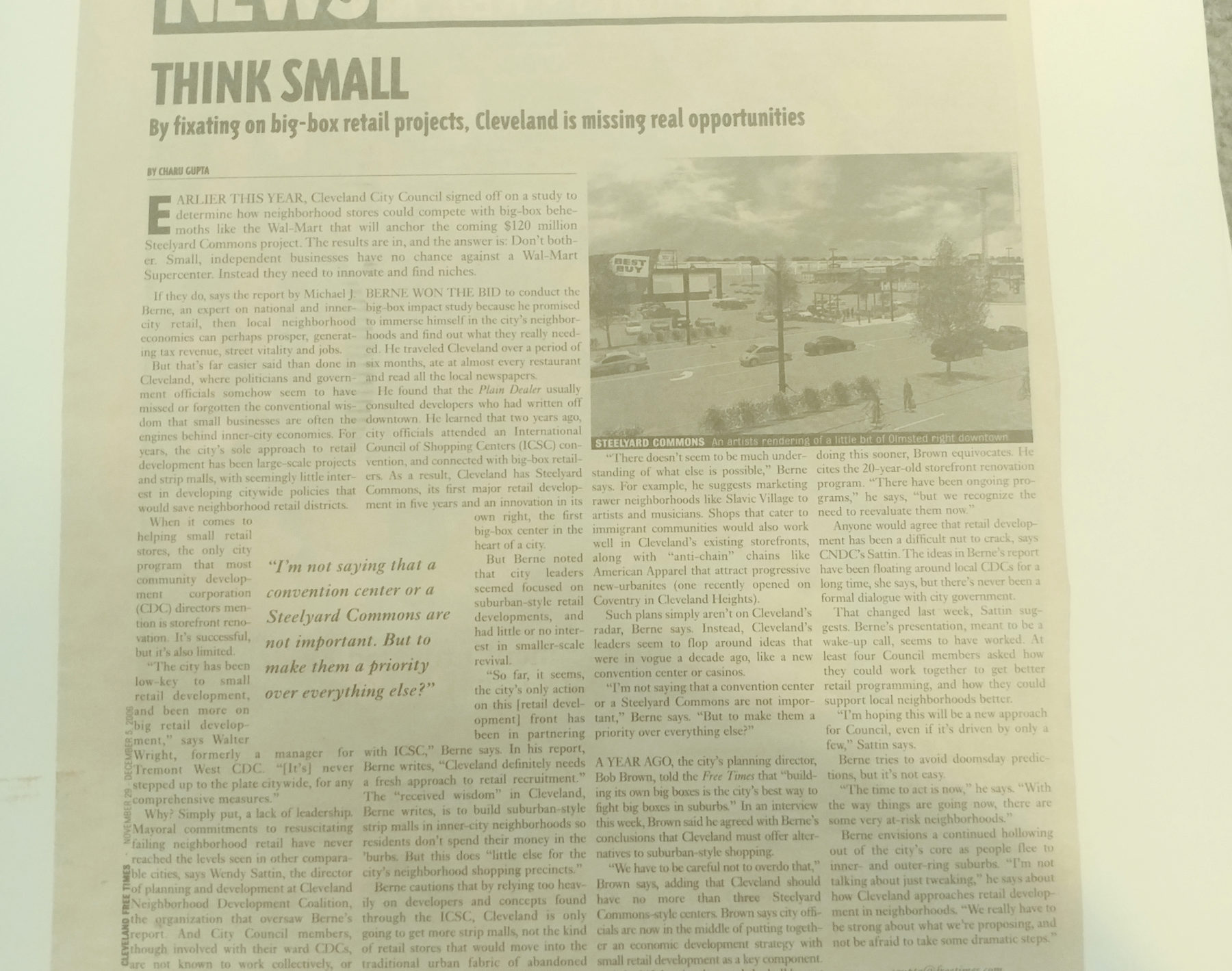
(As a part of my effort to document my life on my blog instead of just on twitter, I’ve posted this here.)
Oct 16, 2019 - Recently
(Reminder to myself, this was originally drafted in April and to use this more often to share small snippets of information..)
I second guess myself if I don’t do enough to remove our president (if it’s not clear, generally, I do NOT support his policies). I try to let my actions speak for myself but I wonder whether its enough; I know that those who are privildged (and also often have power (financial, influence)) to not have to deal with the ramifactions are generally quickly turned off and that the effect of my sharing it on social media is probably minimal. I keep that in mind by trying to act locally.
While in college 10-15 years ago (damn, it has been that long) I realized that the fate of our country for most of its residents wasn’t going to be as good as it once was; and unfortunately that’s been the case. Financially, my partner and I are a little bit better off than my parents were thanks to education, priviledge, and a bit of luck (especially with our health); but there’s more precarity in our future than in the past due to our current administration and with the increasing costs of health care.
I’ve been more intentional in backing up my photos, documents, and videos on a using a combination of rclone and backblaze b2.
There’s a really sharp learning curve (knowing the basics of bash, cron, unix are a requirement for these tools) but the value is really good (per GB); the customization and automation are great.
While looking at past photos, I realized that I haven’t taken that many photos of myself or friends actually.
I’ve pared down even more of what I’ve shared on social media.
I was cognisant of this before (this isn’t the result of anything in particular and I don’t think there’s anything out there that I’d deeply regret) but more so of even less trust that my information may be used against me (denial of health care coverage)
I’ve been contributing to OpenStreetmap for nearly 9 years. It’s how I fell in love with maps; gave me multiple career options, opportunities to work in Haiti and Sengal, forge friendships and acquatinences across the world that continue today, I’ve given a couple dozen presentations or some aspect of it. I wouldn’t be where I am today without it. It has changed my routine; encourages me to be much more observant of how the environment is built, notice the little businesses with signage that would otherwise be forgotten and fade in the landscape.
It’s my biggest hobby (and relatively affordable too ;)), probably 3-4 hours a week.
I’ve lost a little luster for it over the past year or so. I still edit nearly every day, but the quantity of edits and my overall involvement has decreased.
I second guess more often while I’m editing: how often is this data in a way that’s positive for the world? I had thought about this many times before but this just wears on me more.
Will there be more usage of it besides just routing for private ride-sharing companies or real estate analysis?
The local transit authority began to use OSM on their route maps; so that’s actually a great positive.
In OSM, there’s less focus on how users can extract or use its data to make simple maps without having to know HTML or geojson or perform some basic spatial queries (e.g. where are coffee shops or child care facilities that are within 1 mile of me?). The OpenStreetMap community focuses more on how to get data into OSM but not enough on how to get the data out of it (unless you have very )
After spending about 8 years across different continents and areas; you see some of the weaknesses of the tagging system; (to be fair, I think any crowd-sourced system would have probably had these issues).
Looking back, I’m a bit surprised that editing hasn’t taken off like it has for wikipedia; the killer app for openstreetmap (to drive individuals or companies) to contribute for use never came and I think that window of opportunity - for OSM to become the defacto standard in America has passed.
There was a period, I think in the late 00s and perhaps early 2010s when OpenStreetMap and its crowdsource model - manaully drawing features through drawing of aerial imagery and gps traces was the most efficient; and google maps didn’t quite have its strong market share.
Since then, open data sets from municipalities have become more plentiful, machine learning for drawing features have greatly improved. Google uses the crowdsourced data from all of the captchas we fill out to identify addresses and features that they’ve collected from their Street View vehicles.
For a bit, I thought MapBox may have been that company whose products would incentivize people to contribute to OSM and increase its usage of OSM to unforeseen levels of use but it looks like they’ve focused a bit more gathering data through sensors and focusing on automobile navigation.
I sometimes wonder if another entity in a few years will usurp OpenStreetMap as a widely-used defacto source of crowdsourced, global geographic data. OSM largely hasn’t tackled the representation of 3D features; still represents more features as lines instead of areas (no doubt, representing everything as an area would be a lot of work for mappers at this point).
There’s a lot more to share; I also need to make this process of updating this and then uploading it to the website a little easier.
I’m also over markdown, the language that this is written; I’d rather go to just pure html and css again.